Field-accurate data before design begins
High-density LiDAR scans, aerial site capture, and existing-condition documentation: the foundation every remodel, addition, and new build needs.
High-density LiDAR scanning
Interior and exterior scans using high-accuracy, high-density LiDAR equipment. Captures walls, ceilings, roof geometry, MEP routing, and complex conditions that hand measurements miss.
Point-cloud processing & modeling
Raw scan data registered, cleaned, and converted to coordinated 3D models and extracted 2D drawings. Deliverables integrate directly into our design and documentation workflows.
Aerial site documentation
High-resolution overhead and oblique drone imagery capturing lot boundaries, adjacent structures, access points, and site context for design and documentation.
Roof & exterior capture
Close-range drone photography of roof conditions, flashing details, exterior finishes, and hard-to-access elevations, with no ladders or lifts required.
Existing-condition verification
LiDAR scans paired with field measurements to verify that previous drawings match what was actually built. Catches discrepancies before they become field conflicts.
Shareable project models
Scan-based models shared via link with your GC, subs, and engineers. Reduces redundant site visits, because trades can pull preliminary measurements and context remotely.
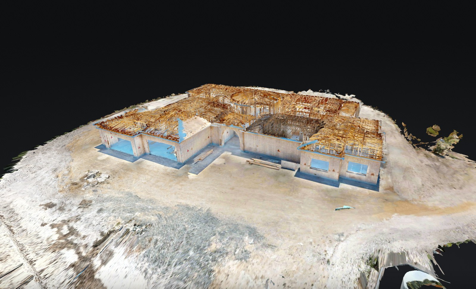
Reduce site visits
Shareable point-cloud models let subs, engineers, and consultants pull measurements remotely, saving trips and coordination time.
True LiDAR
Existing conditions documented with LiDAR precision. Reduces surprises during demo, framing, and MEP rough-in.
High-resolution
Aerial context layered with ground-level scans. See the full property, roof to foundation, before committing to a design.
Schedule a Scan
Tell us about your project scope and timeline.
MEP coordination that routes mechanical, electrical, and plumbing through a coordinated model. Conflicts with structure and framing get resolved before the set goes out, so each trade installs from the drawings instead of improvising.
Learn more3D modeling and rendering services that turn flat drawings into coordinated spatial models. Used for design validation, client presentations, HOA submittals, and contractor coordination.
Learn moreBuild-ready construction documents developed for contractors, delivering clear and coordinated information that supports efficient permitting, accurate bidding, and smooth execution in the field.
Learn more